This guide is continuously maintained and verified by our resident Andean mountain leaders, ensuring accurate permit guidance, altitude protocols, and route recommendations for travelers in Peru.
Table of Contents (7 Sections)
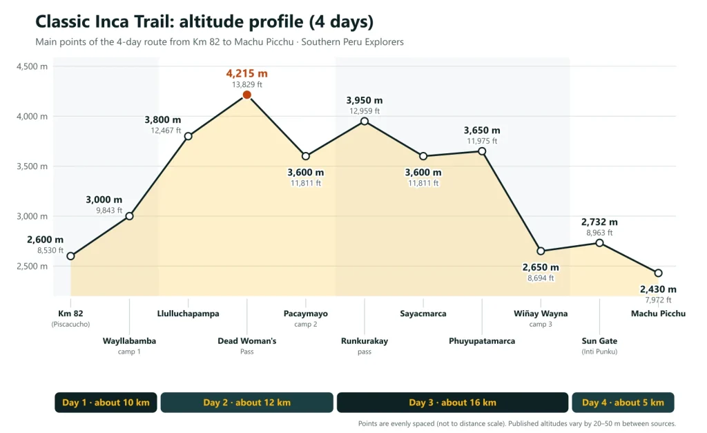
The Classic Inca Trail covers about 42 km from Km 82 (2,600 m / 8,530 ft) to Machu Picchu (2,430 m / 7,972 ft). Its highest point is Dead Woman’s Pass, at 4,215 m (13,829 ft), on day 2, and on day 3 it crosses a second pass, Runkurakay, at 3,950 m (12,959 ft). Below you will find the altitude of every key point, the day-by-day profile of our Classic Inca Trail 4 Days and how to prepare for the altitude.
Inca Trail altitudes at a glance#
| Point on the trail | Altitude | Day (4-day route) |
|---|---|---|
| Km 82 (Piscacucho), start of the trail | 2,600 m / 8,530 ft | Day 1 |
| Wayllabamba, camp 1 | 3,000 m / 9,843 ft | Day 1 |
| Llulluchapampa | 3,800 m / 12,467 ft | Day 2 |
| Dead Woman’s Pass (Warmiwañusqa), highest point | 4,215 m / 13,829 ft | Day 2 |
| Pacaymayo, camp 2 | 3,600 m / 11,811 ft | Day 2 |
| Runkurakay pass | 3,950 m / 12,959 ft | Day 3 |
| Sayacmarca | about 3,600 m / 11,811 ft | Day 3 |
| Phuyupatamarca | about 3,650 m / 11,975 ft | Day 3 |
| Wiñay Wayna, camp 3 | 2,650 m / 8,694 ft | Day 3 |
| Sun Gate (Inti Punku) | 2,732 m / 8,963 ft | Day 4 |
| Machu Picchu | 2,430 m / 7,972 ft | Day 4 |
Published altitudes for the same point often differ by 20 to 50 m between maps and guidebooks. We use the most widely cited figure for each point and the same numbers on all our pages.
Day 1: Km 82 to Wayllabamba#
- Distance: about 10 km (6.2 miles)
- Altitude: from 2,600 m (8,530 ft) to 3,000 m (9,843 ft)
- Difficulty: moderate, a day to get used to the altitude
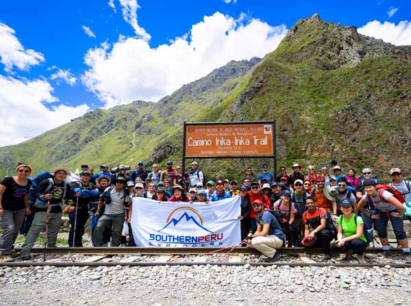
At Km 82 (Piscacucho) your permit and passport are checked at the official control point. The trail follows the Urubamba river through a wide valley, passes the Inca site of Patallacta, an agricultural complex on terraces above the river, and then climbs gently along the Cusichaca valley to the village of Wayllabamba, where we camp. Most of the day is below 3,000 m, lower than Cusco.
Day 2: over Dead Woman’s Pass to Pacaymayo#
- Distance: about 12 km (7.4 miles)
- Altitude: from 3,000 m up to 4,215 m (13,829 ft), then down to 3,600 m (11,811 ft)
- Difficulty: challenging, the hardest day of the trek
This is the big climb: about 1,200 m of ascent through cloud forest and then open grassland, past Llulluchapampa (3,800 m), to Dead Woman’s Pass (Warmiwañusqa), the highest point of the Inca Trail. The pass is cold and windy, so keep a warm layer in your daypack. From the top, a steep descent of about 600 m on stone steps leads to the Pacaymayo valley, where we camp.
Day 3: Runkurakay pass to Wiñay Wayna#
- Distance: about 16 km (9.9 miles), the longest day
- Altitude: up to 3,950 m (12,959 ft) at Runkurakay pass, then down to 2,650 m (8,694 ft)
- Difficulty: long but rewarding, with many Inca sites
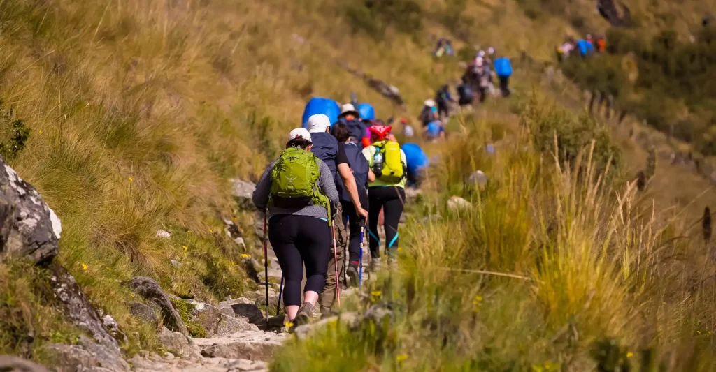
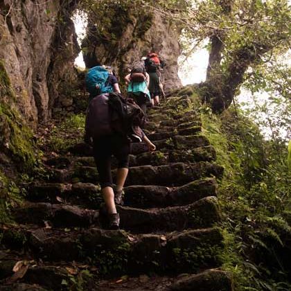
The day starts with a climb past the round Inca site of Runkurakay to the second pass, at 3,950 m. The trail then descends to Sayacmarca, an Inca town on a rocky spur, enters the cloud forest and reaches Phuyupatamarca, “the town above the clouds”, with its terraces and ceremonial baths. From there, thousands of Inca stone steps drop about 1,000 m to Wiñay Wayna, one of the finest sites on the trail, where we spend the last night.
Day 4: Sun Gate and Machu Picchu#
- Distance: about 5 km (3.1 miles)
- Altitude: from 2,650 m to 2,732 m (8,963 ft) at the Sun Gate, then down to 2,430 m (7,972 ft)
- Difficulty: short, with a steep flight of steps before the Sun Gate
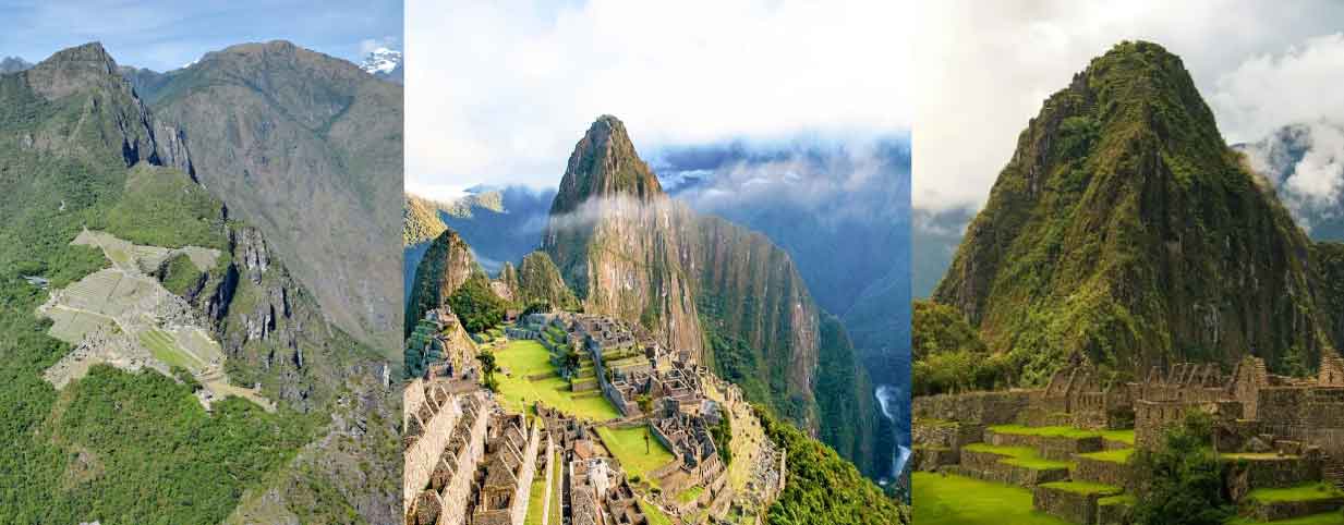
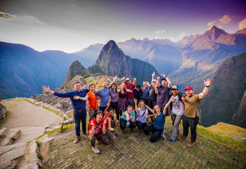
We set off before dawn from Wiñay Wayna, wait for the control point to open and walk the last stretch through the forest to the Sun Gate (Inti Punku), where you see Machu Picchu for the first time. From there it is a gentle descent to the citadel and a guided visit.
How the altitude feels on the Inca Trail#
Cusco is at about 3,400 m (11,155 ft), so plan at least two days there before the trek. The only stretch above 4,000 m is the climb to Dead Woman’s Pass on day 2; the highest camp on our route is Pacaymayo, at 3,600 m. Walk at a slow, steady pace on the climbs, drink water through the day and tell your guide if you have a strong headache, nausea or dizziness. Our guides carry oxygen and a first-aid kit on every trek. Read more about altitude sickness in Cusco and how to prepare for the Inca Trail.
Other Inca Trail routes and their altitudes#
- 5-Day Inca Trail: the same trail at a slower pace, with camps at Llactapata, Llulluchapampa (3,800 m) and Phuyupatamarca (about 3,650 m), and a night in Aguas Calientes before the visit.
- Short Inca Trail 2 Days and 1-Day Inca Trail: about 10 km from Km 104 past Wiñay Wayna to the Sun Gate, with a highest point of 2,732 m (8,963 ft); no high passes.
- Inca Trail and Salkantay Trek 7 Days: starts on the Salkantay route and joins the Classic Inca Trail before Dead Woman’s Pass.
Every Inca Trail route needs a permit for a specific date, and the trail closes every February. See our guide to Inca Trail permits and all our Inca Trail tours.

Written by Joel Cárdenas Gonzales
Founder & CEOFounder and CEO of Southern Peru Explorers since 2009. Born in Cusco and trained as an official tour guide at Instituto Khipu. About the author