This guide is continuously maintained and verified by our resident Andean mountain leaders, ensuring accurate permit guidance, altitude protocols, and route recommendations for travelers in Peru.
Table of Contents (2 Sections)
Looking for all the essential information to plan and prepare for your trip to Cusco?
Find here in this section the ultimate travel guide to Peru.
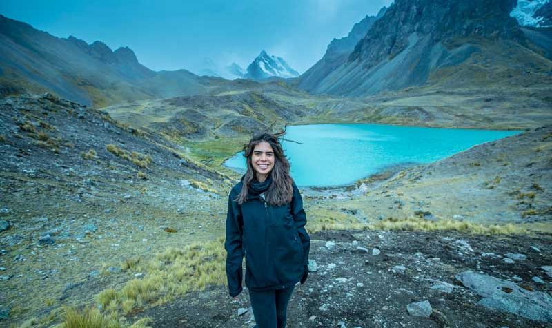
The Ausangate Trek Map gives you a clear understanding of the route, including elevations, distances, and difficulty levels. It helps you visualize the journey through the Andes and understand the dramatic landscapes you will experience along the way, from high mountain passes to remote valleys and glacial lagoons.
This trek is one of the most remote and impressive hiking experiences in Peru, offering a true high-altitude adventure surrounded by breathtaking scenery.
Route Overview and Altitude#
The Ausangate Trek covers approximately 69 km (43 miles) through one of the most spectacular regions of the Peruvian Andes. The trail begins around 3,900 m (12,795 ft) and reaches elevations of up to 5,200 m (17,060 ft), making altitude one of the biggest challenges of the journey.
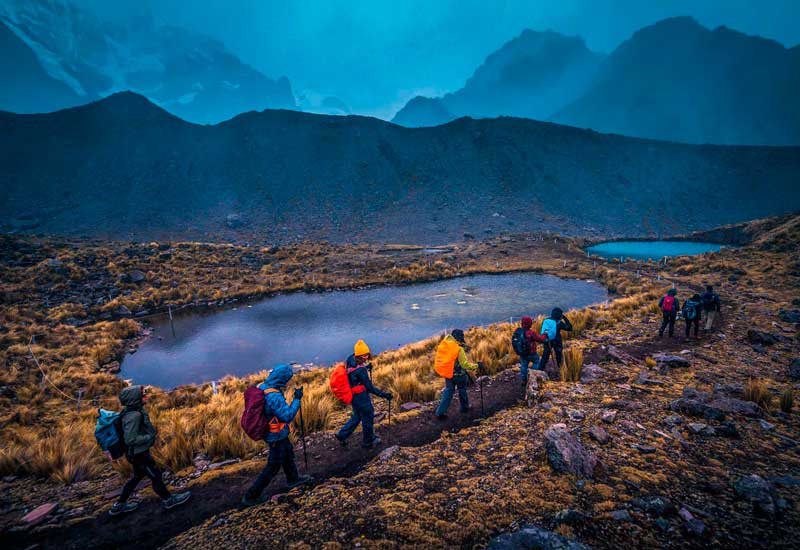
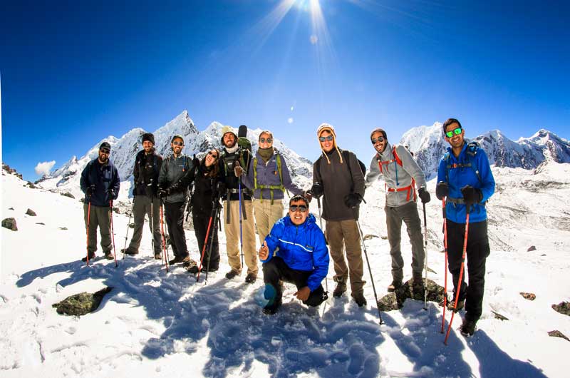
Along the route, hikers pass through diverse landscapes including frozen glaciers, colorful mountain valleys, traditional Andean villages, and wide alpaca-grazing plains. The Ausangate Trek Map helps you understand how the terrain changes each day and how altitude gradually increases before reaching its highest points near Rainbow Mountain.
Schedule#
Day 1
The trek begins in Cusco at 3,399 m (11,152 ft) with a drive toward Tinki at 3,800 m (12,467 ft). From there, the route continues to Q’oñamuro, where the hiking section officially starts at approximately 3,900 m (12,795 ft).
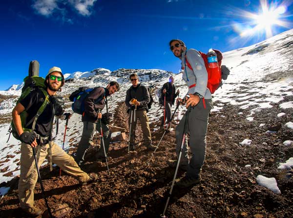
The trail gradually ascends toward the Upis hot springs at the base of Ausangate Mountain, located at 4,500 m (14,765 ft). This first section offers the initial close views of the glacier-covered peak and serves as an important acclimatization day. The hike takes around 6 hours, covering approximately 12 km (7.5 miles).
Day 2
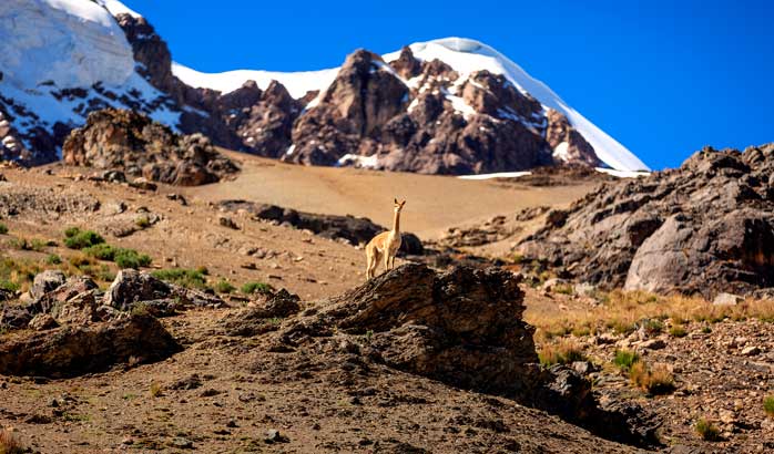
The second day becomes more challenging as the trail climbs toward the Arapa Pass at 4,800 m (15,748 ft). The landscape becomes increasingly remote, with fewer signs of civilization and more dramatic mountain scenery.
The route continues to the Pucacocha campsite, located between two high-altitude lagoons at 4,600 m (15,092 ft). This area is one of the most scenic camping spots of the trek. The day takes around 9 hours and covers approximately 16.5 km (10.2 miles). At this stage, the Ausangate Trek Map is especially useful for tracking distance and elevation gain in a remote environment.
Day 3
This is one of the most impressive days of the trek. The route begins with an ascent toward Apacheta Pass at 4,700 m (15,419 ft), followed by dramatic landscapes leading toward the Rainbow Mountain region near 5,200 m (17,060 ft).
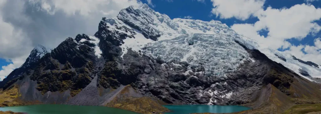
Lunch is usually taken near the Ausangate Cocha lagoon, surrounded by glaciers and mountain peaks. The trail then continues toward Palomani Pass at 5,190 m (17,030 ft) before descending to the village of Phinaya at 4,500 m (14,765 ft). This section covers about 11.7 km (7.3 miles) in approximately 6 hours.
Day 4
The fourth day starts in the wide Phinaya Valley, where the route gradually ascends toward Ccampa Pass at 5,180 m (16,995 ft), one of the highest points of the entire trek.
After reaching the pass, the trail descends toward Laguna Otorongo Cocha at around 4,480 m (14,700 ft). This is one of the longest trekking days, taking approximately 9 hours and covering nearly 16.9 km (10.5 miles). The Ausangate Trek Map helps greatly in understanding the long elevation changes and overall pacing of this demanding section.
Day 5
The final day offers a gradual descent from the mountains toward the community of Pacchanta at 4,200 m (13,760 ft). From there, the journey continues back to Cusco at 3,399 m (11,152 ft).
This last section is more relaxed and covers approximately 11 km (7 miles) in about 6 hours, allowing hikers to enjoy the final views of the Andes before completing the trek. Many travelers also take the opportunity to relax in the natural hot springs of Pacchanta before returning to the city.

Written by Joel Cárdenas Gonzales
Founder & CEOFounder and CEO of Southern Peru Explorers since 2009. Born in Cusco and trained as an official tour guide at Instituto Khipu. About the author